A guided 4x4 expedition of roughly 1,500 kilometres, from Swakopmund to Puros or Sesfontein, up a coast of shipwrecks, seal colonies and absolute silence, then inland through the clay castles of the Hoarusib. North of Möwe Bay the route enters ground you may only travel with a permit — which is precisely the reason to go with someone who holds one.
Day one works north past the wreck of the South West Seal, beached in 1976, and the rusting Toscanini oil rig abandoned the same year — its corroded frame now a cormorant breeding site and, if you like patterns and texture, a photographer's playground. Terrace Bay is lunch and the last fuel for around a thousand kilometres, so tanks go in full: roughly 220 litres of diesel or 290 of petrol per vehicle. Möwe Bay, the unofficial line between Damaraland and the Kaokoveld, is the last contact with other people. Beyond it the convoy has the coast entirely to itself.
The days that follow trade barren plain for mountain, dry riverbed and beach, with colours running from pale sand through black rock to the deep red of garnet. There is wreckage everywhere: ship timbers worked smooth by wind and salt, a forlorn bulldozer and tractor left behind by men who tried to mine diamonds here, and pieces of the Ventura bomber that came down during the 1942 Dunedin Star rescue — all three crew walked away from it. One night is spent where the Dunedin Star's survivors sheltered for almost a fortnight with next to nothing; John Marsh's book The Skeleton Coast tells that story, and it is worth reading before you come. It makes for a quiet evening around the fire.
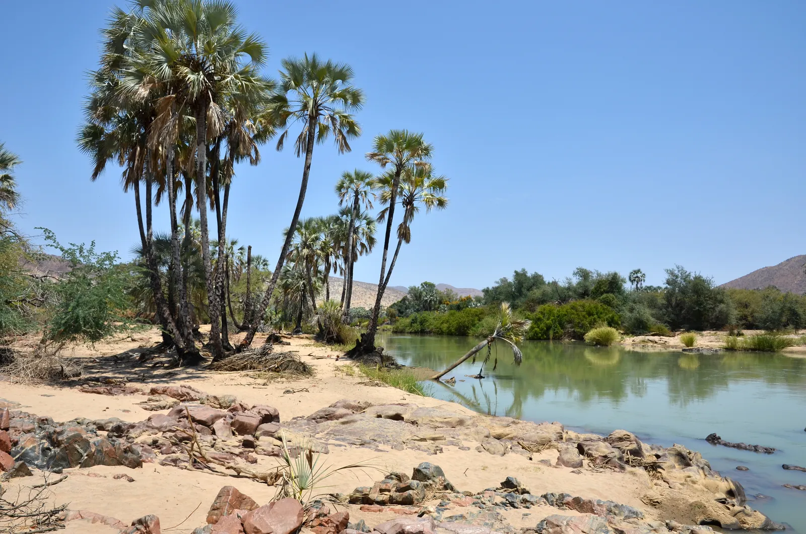
Further north the plains are lit orange by lichen — the Namib carries some 120 species, and watching a dry black crust turn green under a splash of water is one of those small desert miracles that stays with people. Cape Fria brings hundreds of seals. At the Kunene mouth you look across the water into Angola, keeping well back from the bank because of the crocodiles, and watching for turtles. Two days are spent on the river: a cave to explore, a viewpoint over the Angolan mountains with the dunes falling away below, and a walk down to the rapids over house-sized boulders.
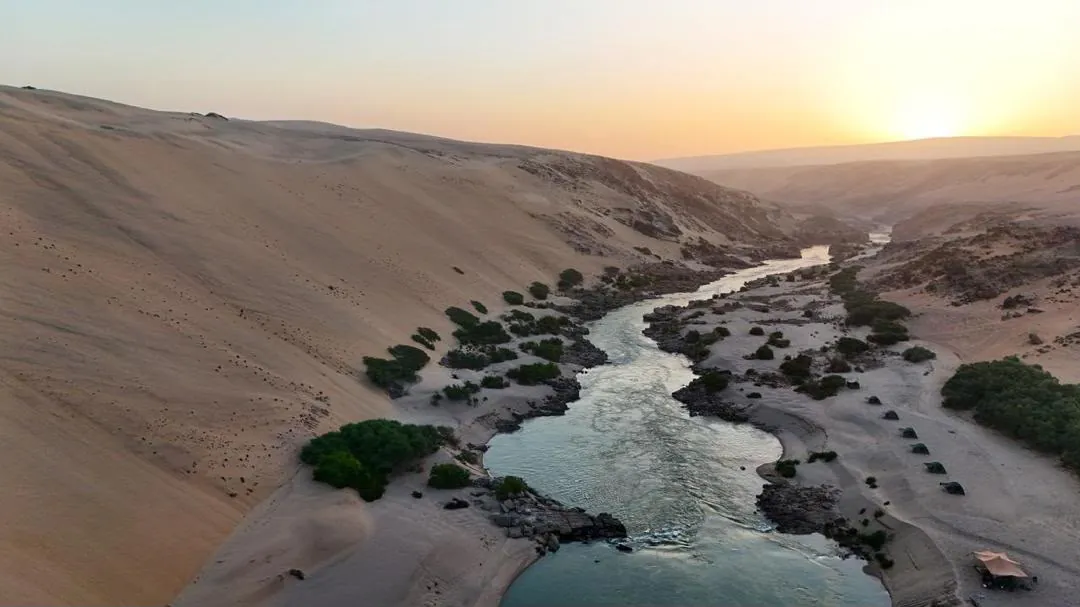
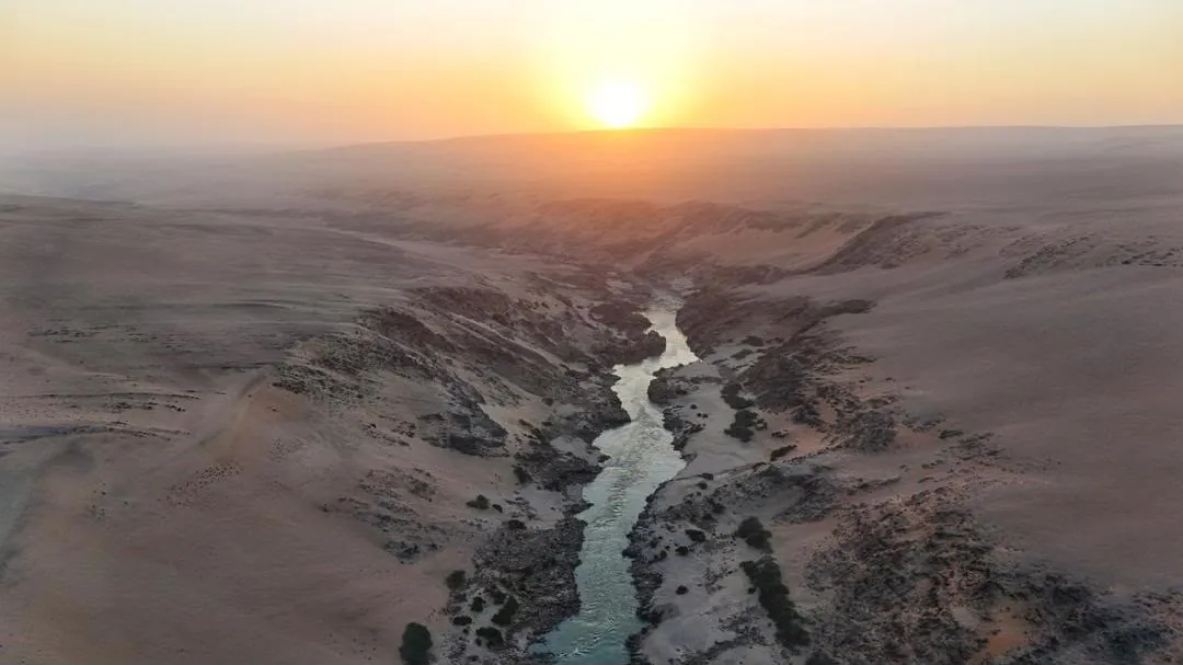
Turning inland, the dunes give way to the wide, lonely spaces of the Hartmann Valley and its oryx, and then to the Hoarusib — where whitish-grey sedimentary walls rise high above the riverbed as the Clay Castles, and you walk beneath them feeling very small indeed. The last day descends the Hoarusib itself, driving through running water between mountains, to the poort at the entrance of the Puros Canyon and the search for the desert elephants that live in the riverbed. Whether you sleep at Puros or push on to Sesfontein depends on how the elephants behave.
The Skeleton Coast – Kunene expedition
Eight days and roughly 1,500 kilometres up the loneliest coast in Africa — a guided 4x4 expedition from Swakopmund to the Kunene river mouth and home through the clay castles of the Hoarusib. North of Möwe Bay the route enters permit-only ground you may travel only with someone who holds the permit, which is precisely the reason to go guided. This is a convoy of shipwrecks, seal colonies and absolute silence, for travellers who want the wildest edge of Namibia.
What the journey holds
A coast of wreckage
The route passes the wreck of the South West Seal, the rusting Toscanini oil rig (now a cormorant colony), ship timbers worked smooth by wind and salt, and pieces of the Ventura bomber that came down during the 1942 Dunedin Star rescue. One night is spent where the Dunedin Star's survivors sheltered for nearly a fortnight — John Marsh's book The Skeleton Coast tells that story, and it's worth reading before you come.
The Kunene and the lichen plains
Further north the plains glow orange with lichen — the Namib carries some 120 species. At the Kunene mouth you look across the water into Angola (keeping well back from the crocodiles), with two days on the river: a cave to explore, a viewpoint over the Angolan mountains, and a walk to the rapids over house-sized boulders.
The Hoarusib clay castles and desert elephants
Turning inland, the route reaches the Hoarusib, where whitish-grey sedimentary walls rise as the Clay Castles. The final day descends the riverbed itself — driving through running water between mountains — to the Puros Canyon and the search for the desert-adapted elephants that live there.
Planning and practicalities
- Roughly 1,500 km over about 8 days, from Swakopmund to Puros or Sesfontein.
- You drive your own 4x4 in a radio-linked convoy; guiding, permits, recovery and three meals a day are included.
- Terrace Bay is the last fuel for around 1,000 km — vehicles carry roughly 220 litres of diesel or 290 of petrol.
- This is a serious, remote expedition for the self-sufficient traveller — the reward is a coast almost no one else ever sees.
In pictures
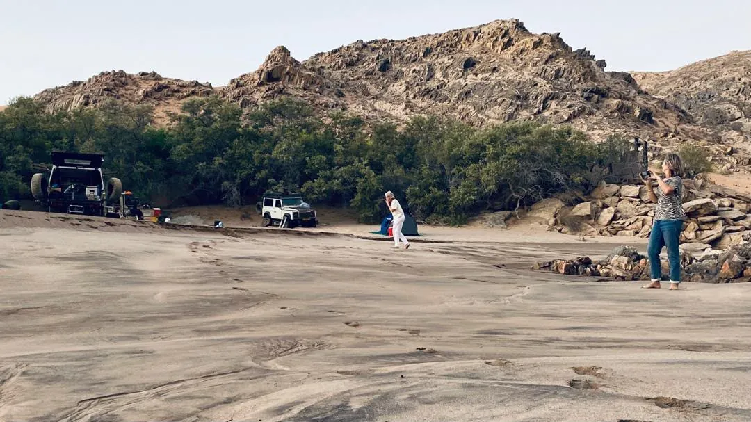
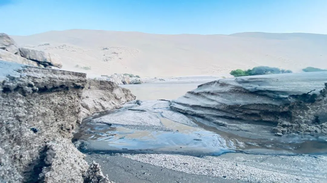
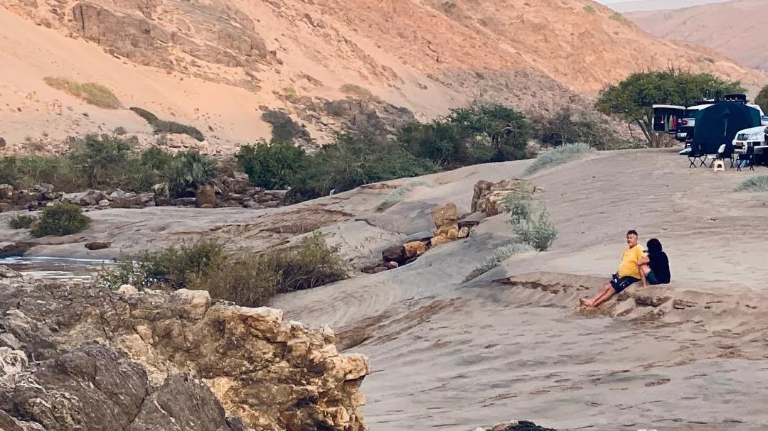
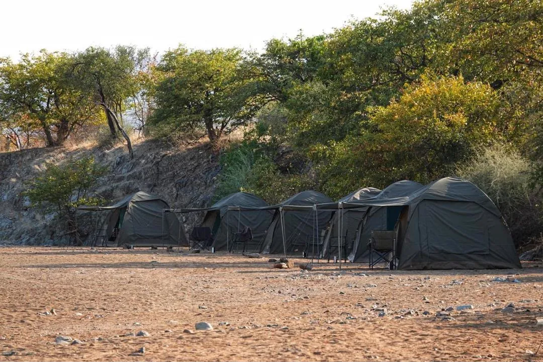
Day by day
What the days actually look like, start to finish.
- Day 1North to Möwe Bay, and out of contact
The first of many shipwrecks is the South West Seal, beached in 1976, followed by the rusting Toscanini oil rig, abandoned the same year — diamonds were never found here in any quantity, and the rig is now a cormorant breeding site whose corroded patterns are a photographer's playground. Lunch at Terrace Bay, and the last fuel for about a thousand kilometres: roughly 220 litres of diesel or 290 of petrol per vehicle. Möwe Bay is the unofficial border between Damaraland and the Kaokoveld and the last contact with other people; beyond it the convoy enters a park you may only travel with a permit. Camp is a spot between the dunes north of Möwe Bay.
- Day 2Wrecks, the Ventura bomber and the Hoarusib
Mornings here are unhurried — coffee first, then breakfast, then everyone makes up their own packed lunch. The country shifts from barren plain to mountain to riverbed, the colour running from yellow sand to black rock to the deep red of garnet. There is another wreck, its timbers worked smooth by the elements; a forlorn bulldozer and tractor left by the brothers who tried to mine diamonds here; and scattered pieces of the Ventura bomber that came down during the 1942 Dunedin Star rescue, whose crew of three all got out alive. Ghost crabs come up out of the beach at the vibration of the cars and race for the sea. Then the dry bed of the Hoarusib with its curls of cracked mud, dunes that roar back at you, rock formations nestled between them, and water pools to splash through. Camp against a dune, fire on for the shower.
- Day 3Lichen plains, Cape Fria and the Dunedin Star
The scenery opens out into plains of astonishing colour — dark brown, yellow sand, and orange where the lichen takes hold. The Namib carries some 120 species; splash water on a dry black crust and watch it turn green. Along the beach to Cape Fria and hundreds of seals. Camp that night is where the survivors of the Dunedin Star sheltered for almost a fortnight in 1942 with next to nothing to eat or drink. John Marsh's book The Skeleton Coast tells that story, and it makes for a quiet evening around the fire.
- Day 4The Kunene mouth
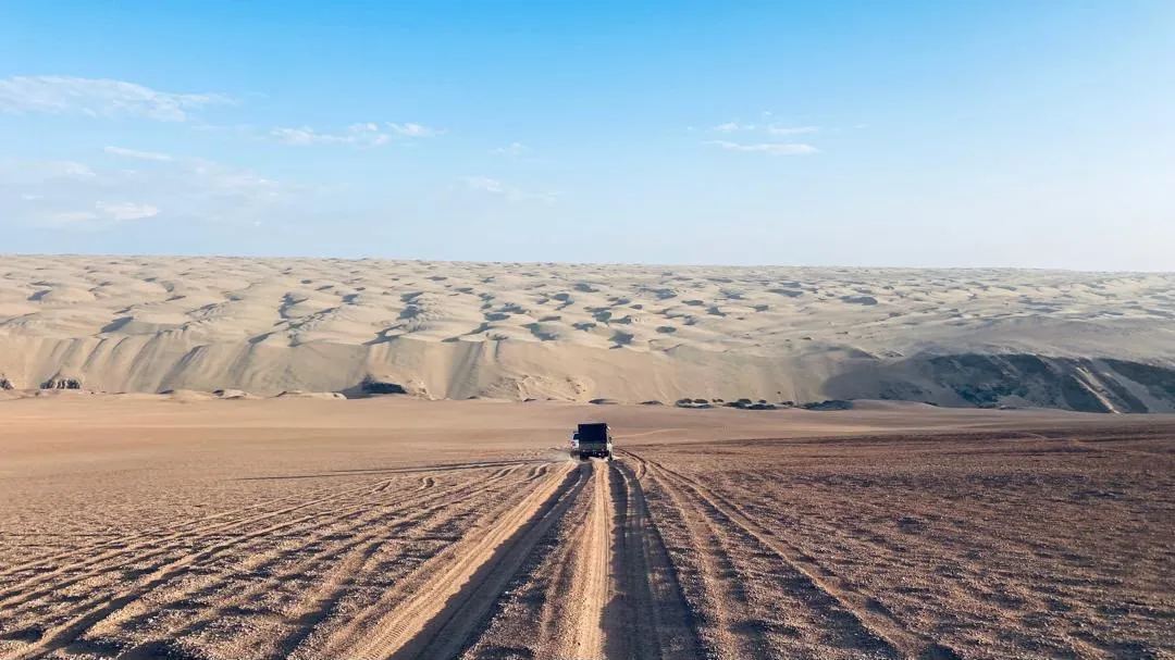
Over dunes, with a stop for the view across Borsluisbaai, and on to the mouth of the Kunene. You are warned to keep well back from the water because of the crocodiles, and to watch for turtles. Angola is on the far bank. From there the route runs over the dunes again — pale sand against dark mountain, and worth looking back at every so often — to a camp chosen along the way.
- Day 5Above the river, and a cave
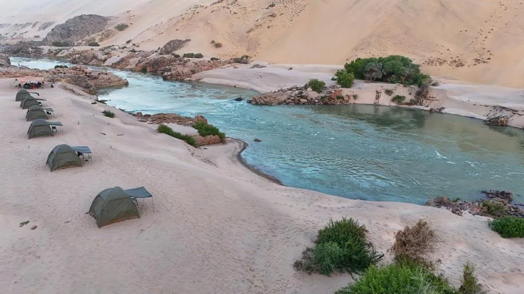
Over the dunes to a spot with the Angolan mountains on one side, the Namibian dunes on the other and the river far below. A cave to explore, unusual and worth the stop. Then down through the dunes to camp near the river, a walk to the water, and a braai.
- Day 6The rapids, then Hartmann's Valley
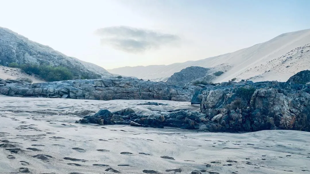
A last walk to the river before leaving, to see the rapids and climb over the house-sized boulders — carefully, since the crocodiles walk here too. Then dune driving, until the dunes give way to lonely trees, plains and riverbeds: the Hartmann Valley, wide open, with a good many oryx in it. There is a stop at the green drum, where somebody has left an old laptop so you can send a mock email — which is when it dawns on you that you have been a week without contact with the outside world.
- Day 7The clay castles of the Hoarusib
Welwitschias on the route today, and then the Clay Castles: whitish-grey sedimentary walls standing high above the Hoarusib riverbed, left by forces that worked this country millions of years ago. You walk beneath them and feel very small. Camp goes up not far off, so there is time to wander back among them the next morning.
- Day 8Down the river to Puros
A river day — descending the Hoarusib itself, driving through running streams with mountains close on both sides, as far as the poort at the entrance to the Puros Canyon. Whether the night is spent at Puros or the convoy pushes on towards Sesfontein depends on the time, and on whether the desert elephants that live in the riverbed have shown themselves. If they haven't, Armand will go further up the river to look.
From your guide
The person who leads this trip — because on ground like this, the guide is the trip.
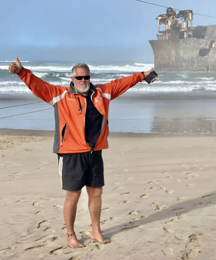
Armand “Wax Hom” Basson
Armand Basson has spent more than twenty-five years driving the remote corners of southern Africa, and is known across Namibia for his skill and professionalism in deep sand. On this route that experience is the safety margin: north of Möwe Bay there are no shops, no fuel and no other people for around a thousand kilometres. As a registered Namibian tour operator he holds the permits that open the Skeleton Coast and the Kaokoveld, travels with two guide vehicles and radios in every car, and knows where the water, the wrecks and the elephants are.
What the tour costs
A guided self-drive expedition through permit-only country: you bring the 4x4 and the camping kit, the tour brings the permits, the guides and the kitchen.
What's included
- Concession fees payable to the Ministry
- Park entrance and usage fees, per person per day
- Radio communication between vehicles (compulsory)
- Two guide vehicles
- Three meals a day
What to bring
- A 4x4 in good order on high-flotation tyres (no tube tyres)
- Two spare wheels, a pump and a pressure gauge
- Recovery points front and rear, plus tools, spares and emergency gear
- Fuel for ±1,000 km without a pump — about 220 litres diesel or 290 petrol
- Tent, mattress, sleeping bag, chairs — roof racks to 50 kg, preferably no roof tents
- At least 60 litres of water, plus 2 litres per person per day for drinking
- Two large bags of firewood and one of charcoal
- Warm clothing for cold nights, sun protection, your own cutlery and crockery
Run as a group booking on request. Camps are wild and move with the weather and the pace of the convoy, so the overnight spots vary from tour to tour; lodges at either end — Sesfontein, Palmwag, Khowarib, Grootberg, Kamanjab — are booked separately, and we are happy to arrange them. A 50% deposit confirms the booking and the balance is due one month before departure.
Concession fees that reach the conservancies
North of Möwe Bay the route threads through the Skeleton Coast National Park and the communal conservancies of the Kaokoveld—some of the most successful community conservation ground in Africa. Under Namibia's community-based natural resource management model, the permits and concession fees paid to travel here don't vanish into a national account: a share flows directly to the conservancies and the people who live alongside this wildlife.
That money does concrete work. Across the Kunene, tourism income funds the community game guards and anti-poaching patrols that cover thousands of square kilometres of near-empty terrain, pays salaries, fuel and equipment, and gives rural communities a real stake in keeping desert-adapted elephant, black rhino and lion on the land rather than in conflict with it—a large part of why wildlife has recovered so strongly in the north-west since the 1980s.
Travelling this coast as a small, radio-linked convoy on the proper permits is the quiet kind of giving back: low numbers, money that lands where it should, and a landscape that stays wild because the people who steward it benefit from it. That is exactly the kind of travel Sandura sets out to support.
Build Skeleton Coast – Kunene into your own route
Open our interactive map to drop Skeleton Coast – Kunene into a trip, drag your stops into order, pick your travel style and see a live per-person cost estimate — then send the whole plan to us on WhatsApp in one tap.
Open the trip plannerCommon questions
Where does the Skeleton Coast expedition go?
It runs about 1,500 km over roughly eight days, from Swakopmund up the Skeleton Coast to the Kunene river mouth on the Angolan border, then inland through the Hoarusib clay castles to Puros or Sesfontein.
Why do you need a permit for the Skeleton Coast?
North of Möwe Bay the coast is a strictly controlled concession area that may only be entered with a permit. Going with a guide who holds one is the only way to travel this ground legally and safely.
Do I drive my own vehicle?
Yes. It's a guided, radio-linked convoy in which you drive your own capable 4x4. Guiding, permits, recovery and three meals a day are provided; fuel range matters, as there's a ~1,000 km stretch with no refuelling.
Can you see desert elephants on this trip?
Yes — the final leg down the Hoarusib riverbed to the Puros Canyon searches for the desert-adapted elephants that live in the riverbed, though sightings are never guaranteed.
Who is this expedition suitable for?
Experienced, self-sufficient travellers comfortable with remote, multi-day 4x4 travel and long distances between services. The convoy format and expert guiding make it achievable with the right vehicle and preparation.